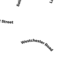
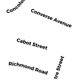
15-17 WESTCHESTER RD
Owner Information
LOW WILLIAM
935 COMMONWEALTH AVE
NEWTON, MA 02459


Property Details
15-17 WESTCHESTER RD is classified as a Two-Family Residential (Two family).
The primary structure on this property was built in 1945. There are 4,743ft2 of built area within this property. There is 2,970ft2 of residential/living space within this property. This property is listed as having 12 rooms.
15-17 WESTCHESTER RD is valued at $1,057,800. The land is valued at $687,000 and the structures are valued at $370,800.
This property is in Zone MR1. Confirm with local Zoning Board authorities to ensure there are no overlays or other easements on this property.
The most recent deed for 15-17 WESTCHESTER RD is recorded at the local registrar in Book 1401, Page 112. 15-17 WESTCHESTER RD was last sold on Wednesday, June 29, 2011 for $685,000.
Assessment data from fiscal year 2022.
Flood Data
According to the FEMA National Flood Hazard Layer, this property does not appear to be in a flood zone. It may also be in an area not yet reviewed. Nonetheless, confirm this information prior to taking any action.
To view the flood hazards around this property, create a FEMA "Firmette" Map of the area around 15-17 WESTCHESTER RD.
Broadband Internet Providers
| Provider | Type | Bandwidth (mbps) | |
|---|---|---|---|
| Verizon New England Inc. | DSL | 7 | 0 |
| Verizon New England Inc. | Fiber | 940 | 880 |
| VSAT Systems, LLC. | Satellite | 2 | 1 |
| HughesNet | Satellite | 25 | 3 |
| GCI Communication Corp. | Satellite | 0 | 0 |
| RCN | Cable | 1000 | 20 |
| RCN | Cable | 500 | 20 |
| Comcast | Cable | 1000 | 35 |
| Viasat Inc | Satellite | 100 | 3 |
Broadband service provider data from December 2020.
Adjacent Properties
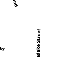
- 26-28 BLAKE ST
Other, Open Space owned by 26-28 BLAKE ST MASTER DEED - 26-28 BLAKE ST 26
Residential Condominium owned by LIU HU TR - 26-28 BLAKE ST 28
Residential Condominium owned by SILBERMAN ELLEN J - 32-34 BLAKE ST
Two-Family Residential owned by HEGGANS T & BAUDUIN Y TRS - 9-11 WESTCHESTER RD
Two-Family Residential owned by MAKRIYANNIS ALEXANDROS - 19-21 WESTCHESTER RD
Two-Family Residential owned by 19-21 WESTCHESTER RD LLC - 36-38 BLAKE ST
Two-Family Residential owned by LEVIN VLADIMER